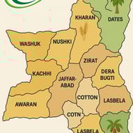
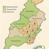
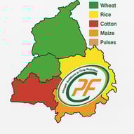
Discover the Agricultural Landscape of Pakistan
Explore detailed infographics showcasing the agricultural map of our country's provinces and districts, providing valuable insights into local farming practices and land usage.

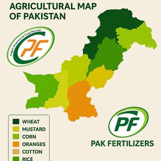

Provincial Overview
Discover infographics illustrating agricultural data across provinces and districts in the country for informed decision-making and research.

The agricultural map is incredibly informative and visually appealing. It helped me understand regional farming better.
John Doe


★★★★★
Leading in plant nutrition for over 20 years.
© 2024. All rights reserved.